Seasonal Sunday, Warmer Next Week
Weather Headlines:

Seasonal fall temperatures arrive Sunday afternoon with a strong southerly wind. Mostly sunny skies should hold through the rest of the weekend, with some cloud cover finally moving in late Sunday evening.

Sunday will be another breezy day across southeast Nebraska as we sit sandwiched between high pressure to our southeast and low pressure to the north. Gusts upwards of 30 miles per hour are possible late Sunday morning, slowly tapering off through the afternoon.

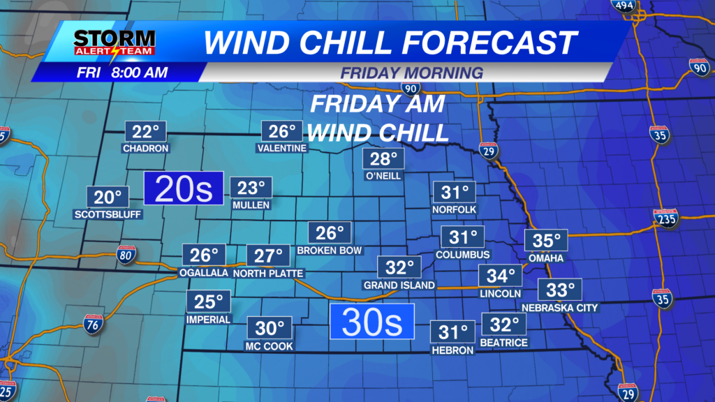
The breezy start to the day will also lead to feels-like temperatures close to freezing across the state. Best to keep a few layers on hand for any Sunday morning plans.
Forecast:

Temperatures late Saturday into Sunday morning will fall to the 30s and 40s statewide. Stronger winds should help prevent the formation of frost by helping to keep temperatures a few degrees warmer.

Clear skies continue through the overnight in Lincoln, with air temperatures down to the lower 40s. Be ready for a chilly start to the day on Sunday, with winds knocking our feels-like temperatures down to the 30s.
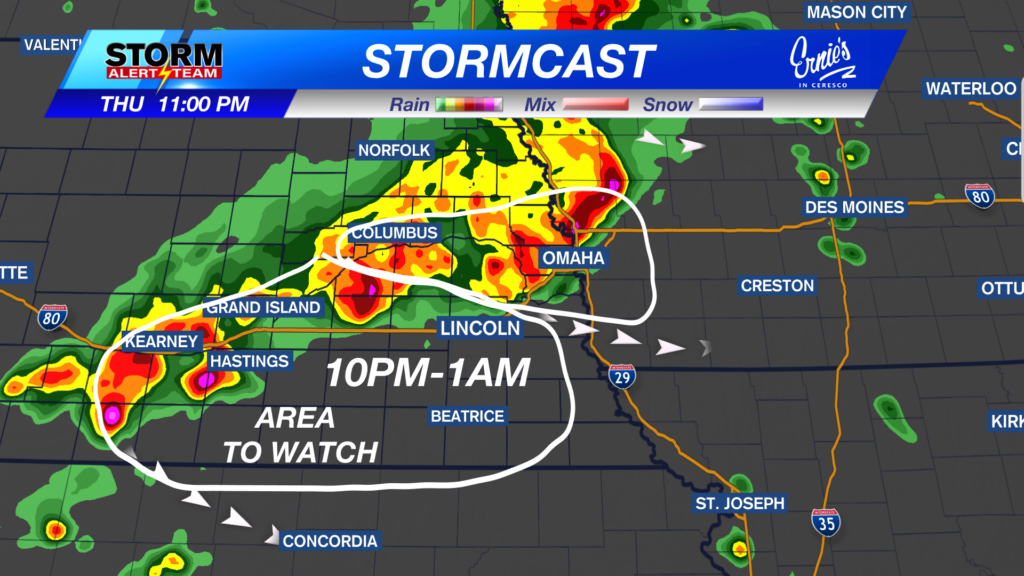
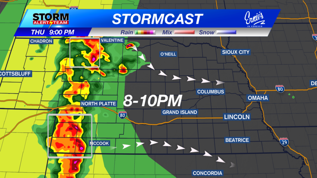
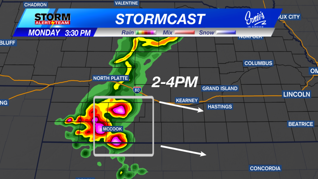
The latest runs of StormCast show a dry close to the weekend across the state.

Sunshine and southerly winds will bring our afternoon highs close to average for mid-October across the state. Temperatures are expected to reach the upper 60s and lower 70s.

If you do not mind a little wind, Sunday should be a fairly nice end to the weekend in the Capital City. Our average high for the day sits at 66 degrees, and afternoon temperatures will sit around there, if not a couple of degrees warmer.

Seasonal weather looks to continue on Monday with high temperatures in the 60s.

The extended forecast hints at a warm-up through the weekend ahead with an incoming upper-level ridge. We stay dry until our next big shift in the weather pattern swings through from the west, which looks to be late next week.
Storm Alert Team Meteorologist
Dominic Ferraro
X: DomFerraroWX
Facebook: DomFerraroWX
YouTube: DomFerraroWX