Staying Hot and Humid Through the Weekend
Hot and Humid:

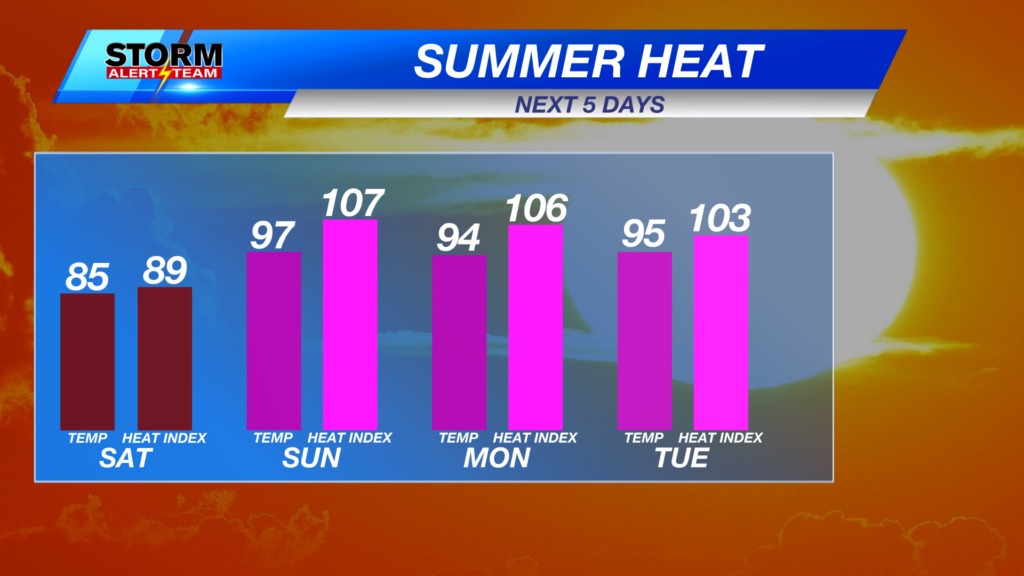
Unpleasant outdoor conditions continue on Sunday before reaching their peak on Monday. Air temperatures are forecast in the 90s to lower triple digits, with feels-like values ranging from 105° to 110° across eastern Nebraska.
Several rounds of heat alerts will go into place across the state, starting on Sunday with a Heat Advisory for northern portions of the state. The majority of the state will be added to the advisory on Monday morning. As of Saturday evening, all advisories will come to an end on Monday evening.

Saturday afternoon will bring a mixture of upper 90s to lower 100s for feels-like temperatures across Nebraska.

By Monday afternoon, the majority of the state will be primed to see heat indices above 100°.

Familiarize yourself with the signs of both heat exhaustion and heat stroke, particularly if you know you will be outside for an extended period of time in the next couple of days. Infants, children and the elderly are especially susceptible to heat illness. It will be important to monitor yourself and others for the above symptoms as well as take frequent breaks from the heat.
Forecast:

Temperatures this evening will be seasonally warm across the state, ranging from the upper 60s to lower 70s.

Quiet tonight for the Lincoln area with mostly clear skies and a light breeze. Overnight lows will be a handful of degrees above average for mid-July.
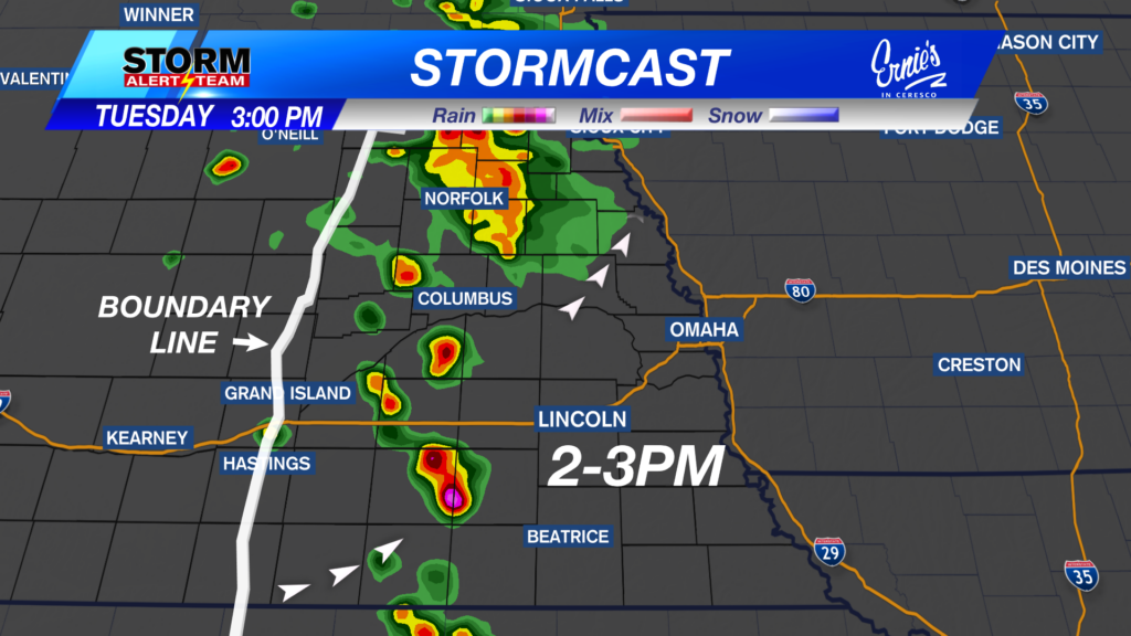
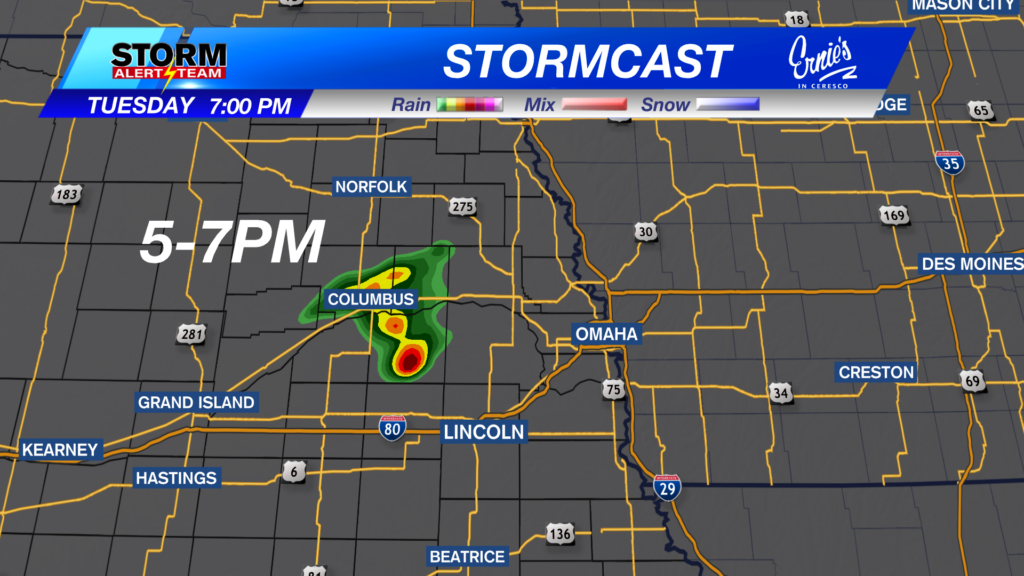
Any afternoon showers to our north will fizzle out shortly after sunset. Fair weather cloud cover returns for most of the state on Sunday, according to the latest runs of StormCast.

Air temperatures remain in the middle 90s across Nebraska on Sunday afternoon, with a few spots capable of reaching 100°+ in far northern and western Nebraska.

Even on Sunday morning, it will not take long for temperatures to heat up in the Capital City. Expect the upper 80s to lower 90s around lunchtime, followed by a high temperature in the mid-90s.

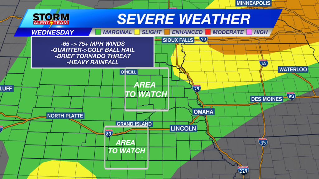
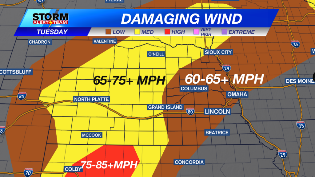
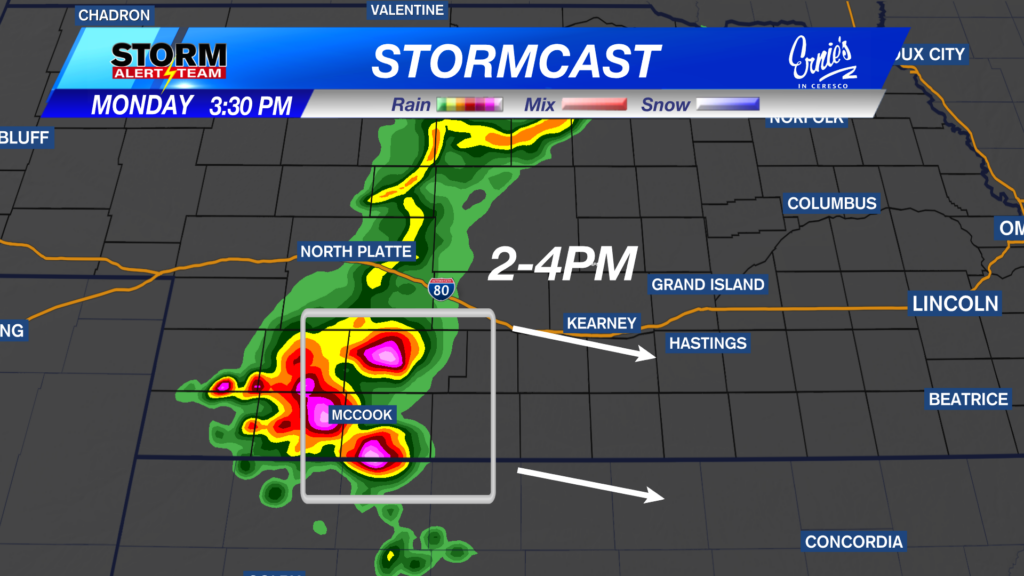
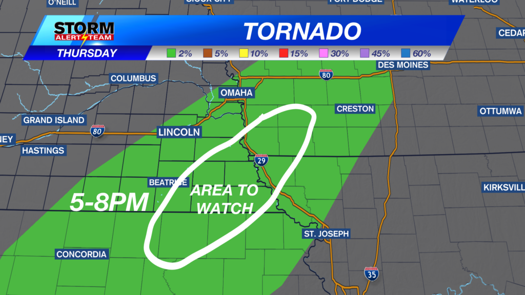
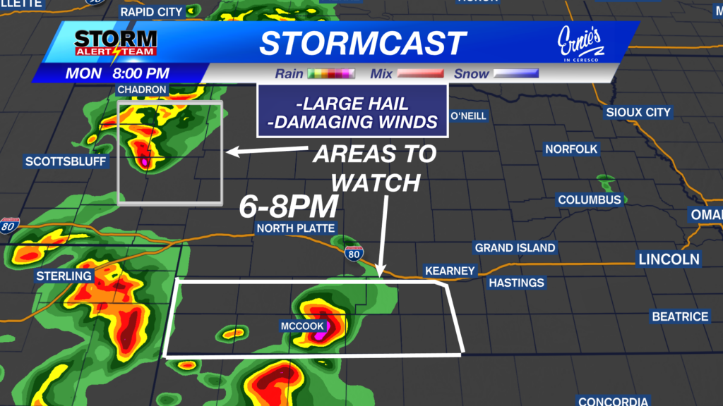
Additionally, a cherry on top of this forecast, we are monitoring the potential for severe weather on Monday afternoon for far eastern Nebraska. A Marginal Risk (Level 1 out of 5) of severe weather is in place as an isolated severe storm or two will be possible along the Nebraska-Iowa border.

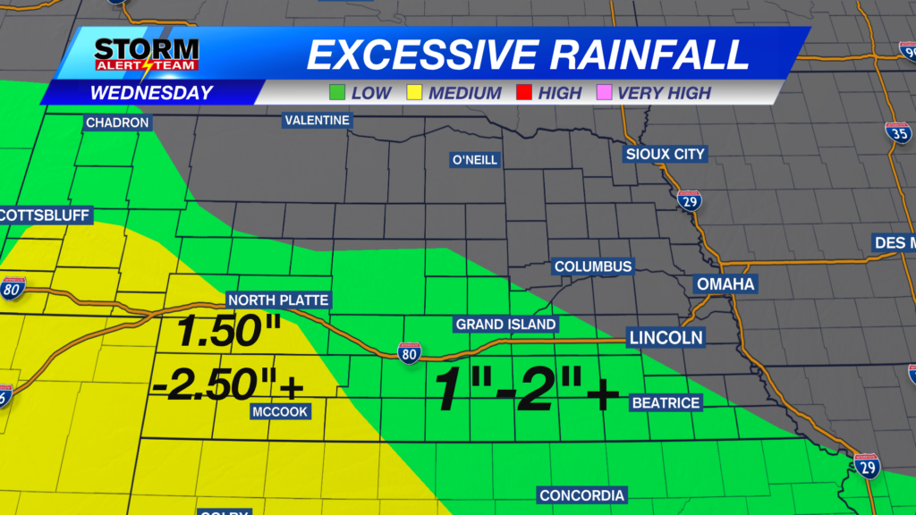
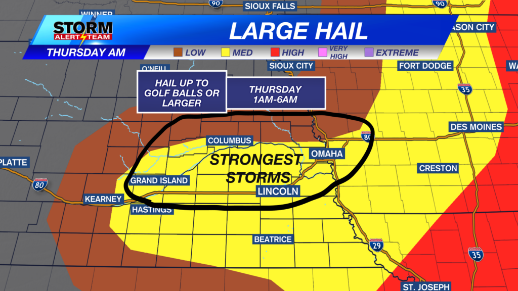
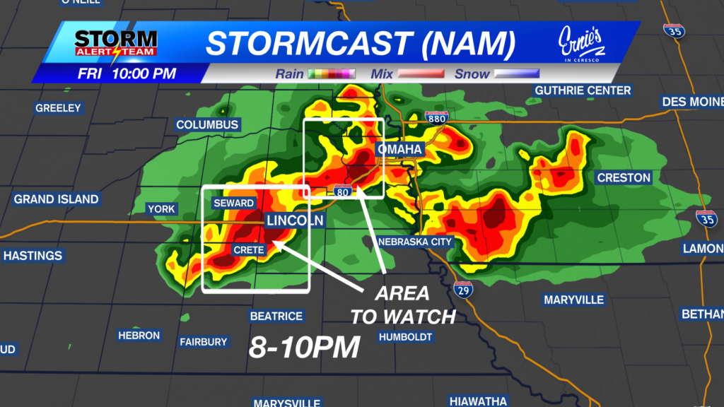
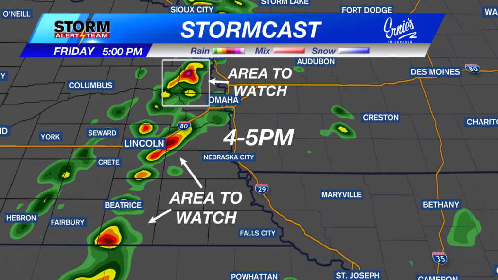
Better chances for showers and thunderstorms move in by Wednesday afternoon through Friday. Temperatures return to the 80s alongside the precipitation chances before heating up again next weekend.
Storm Alert Team Meteorologist
Dominic Ferraro
X: DomFerraroWX
Facebook: DomFerraroWX
YouTube: DomFerraroWX